
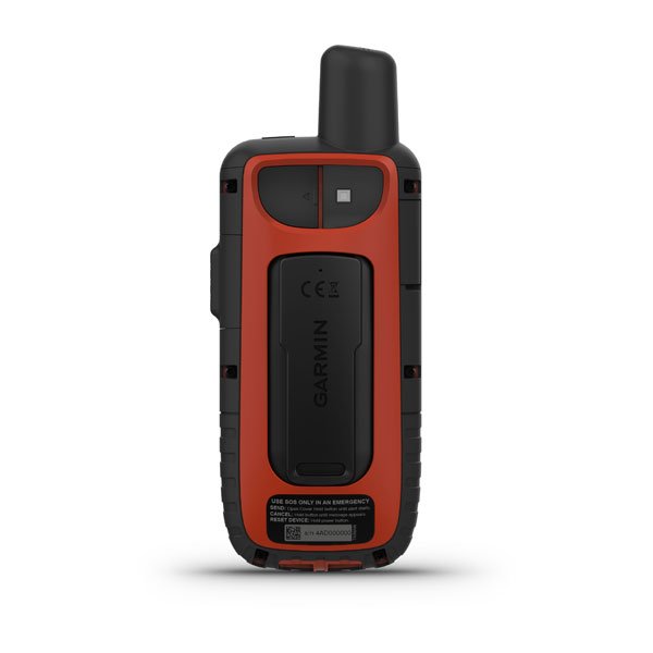
Rugged GPS handheld and inReach satellite communicator with Garmin TopoActive Europe mapping
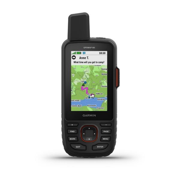
- Large 3" sunlight-readable colour display for easy viewing
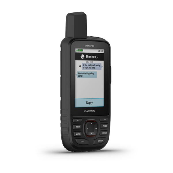
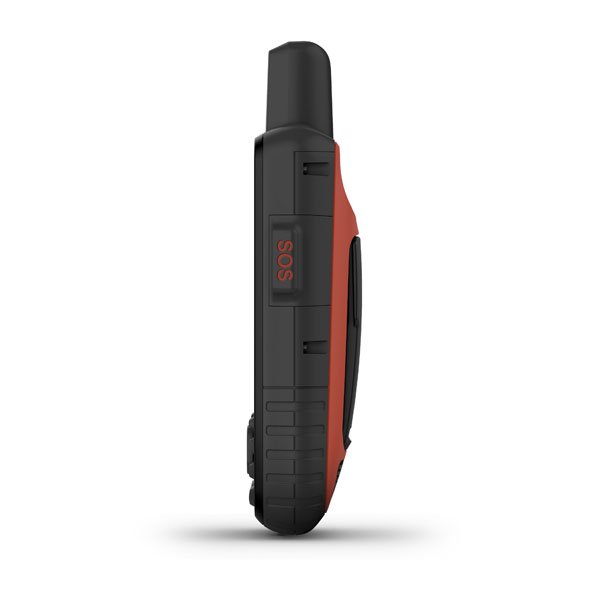
- Trigger an interactive SOS to the GEOS 24/7 search and rescue monitoring center; two-way messaging via the 100% global Iridium® satellite network (satellite subscription required)
- Preloaded Garmin TopoActive Europe mapping with direct-to-device BirdsEye Satellite Imagery downloads (no annual subscription); includes multiple Global Navigation Satellite Systems (GNSS) support and navigation sensors
- Cellular connectivity lets you access Active Weather forecasts and Geocaching Live
- Compatible with the Garmin Explore™ website and app to help you manage waypoints, routes, activities and collections, use tracks and review trip data from the field
- Internal, rechargeable lithium battery provides up to 35 hours of battery life in 10-minute tracking mode; 200 hours in Expedition mode with 30-minute tracking intervals
Precise Garmin navigation meets global communication in the GPSMAP® 66i premium GPS handheld with inReach® satellite technology.
Built for tough treks
The sturdy, button-operated GPSMAP 66i features a large 3" colour display you can see even in bright sunlight. If you're out in the field for long stretches of time, you can turn on Expedition mode and get up to 200 hours of battery life while using inReach technology. In the default tracking mode, you get up to 35 hours of battery life, and your device will save your location every 10 minutes.
inReach Satellite communication
Staying in touch is vital, even on less challenging trips. Using inReach technology (subscription required), this handheld lets you trigger an SOS to the GEOS 24/7 emergency response team for interactive support in an emergency. It also enables two-way messaging and LiveTrack location sharing via the 100% global Iridium satellite network, so you can stay in contact with loved ones, teammates, headquarters and more.
Navigate with confidence
GPSMAP 66i is fitted with the best in Garmin navigation. Preloaded Garmin TopoActive Europe mapping provides detailed views of topographic elevations, summits, parks, coastlines, rivers, lakes and geographical points. Direct-to-device downloads of BirdsEye Satellite Imagery provide high-resolution photo-realistic views of your route, trailheads, clearings and more — without an annual subscription. Support for multi-GNSS combined with altimeter, barometer and compass navigation sensors lets you track and navigate in challenging environments.
Weather anywhere
Wireless cellular connectivity lets you access Active Weather for up-to-date forecasts, including predictive maps for temperature, wind, precipitation and clouds — right on the handheld when connected to Garmin Connect Mobile.
WHAT'S IN THE BOX:
- GPSMAP 66i
- Access to Birdseye Satellite Imagery
- Charging/data cable
- Carabiner clip
- Documentation
No Video
related products
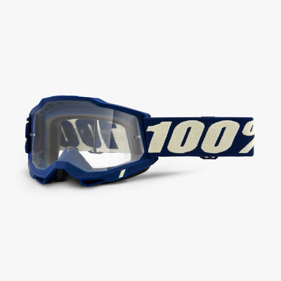
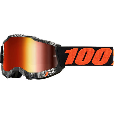
100% - Accuri 2 & Strata 2 Lenses (Youth)
Replacement lenses for 100% Goggles These are a single layer lens with anti-fog coating Will fit all 100% junior models Accuri 2, and Strata 2 Safeguards against UVA and UVB...
R 199.00
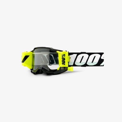
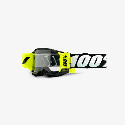
100% - Accuri 2 Clear Goggles (Youth)
The Accuri 2 returns to set the benchmark for a premium performance goggle. Delivering utmost protection, visibility and comfort for sight to line while performing, with an ever wider field...
R 525.00
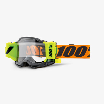
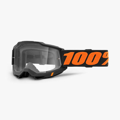
100% - Accuri 2 Forecast Goggle
This revolutionary mud specific goggle is a complete system comprised of working parts that function seamlessly together. Wider film, smoother pulls, and an advanced cleaning system contribute to achieving our...
R 1,250.00
100% - Accuri 2 Forecast Goggle (Youth)
This revolutionary mud specific goggle is a complete system comprised of working parts that function seamlessly together. Wider film, smoother pulls, and an advanced cleaning system contribute to achieving our...
R 1,050.00
100% - Accuri 2 Mirror Goggles
The Accuri 2 returns to set the benchmark for a premium performance goggle. Delivering utmost protection, visibility and comfort for sight to line while performing, with an ever wider field...
R 999.00

100% - Accuri 2 Mirror Goggles (Youth)
The Accuri 2 returns to set the benchmark for a premium performance goggle. Delivering utmost protection, visibility and comfort for sight to line while performing, with an ever wider field...
R 650.00
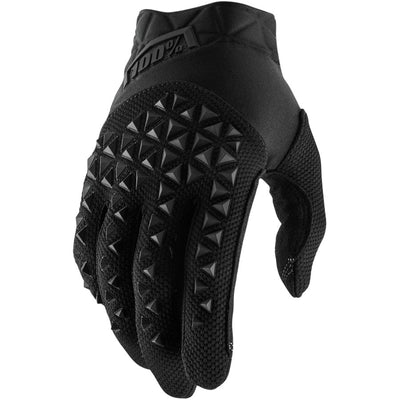
100% - Airmatic Gloves
The perfect go-to glove for all types of riding. The multi-panel construction of the Airmatic is engineered to blend unmatched comfort and versatility into a great fitting, all-purpose glove. Distinct...
R 650.00


100% - Armatic Forecast Goggles
Born from the legacy of the championship-proven ARMEGA, ARmatic breaks new ground in MX goggle innovation. Building upon the success of ARMEGA's 3-D molded lens technology, ARmatic ensures the most...
R 1,999.00
WE SHIP
WORLDWIDE
WORLDWIDE
100% MONEY BACK
GUARANTEE
GUARANTEE
100% SECURED
PAYMENT
PAYMENT
7-DAY RETURN
POLICY
POLICY